How can Infrared Water Pollution Surveys help?
All too often, our water collection systems convey pollutants into our clean water. Aerial water pollution surveys provide a way to easily identify sources of pollutants from illicit connections, degraded sewage collector lines, faulty storm water drain discharges and more.

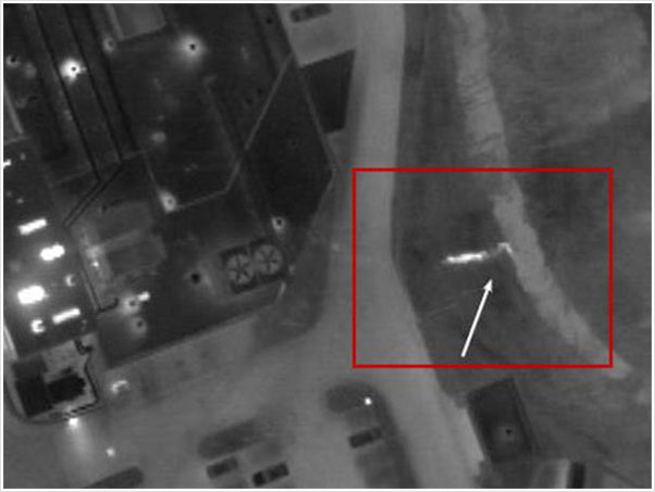
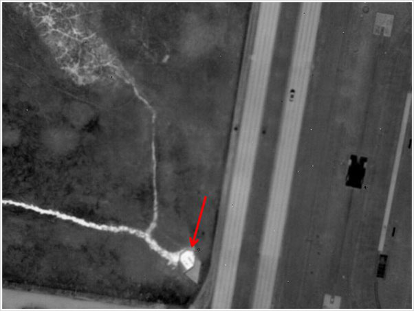
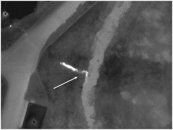
Sources of pollutants can often be identified by their thermal infrared signatures during certain times of the year. As these sources of pollution leak, seep or empty into creeks, streams, rivers and lakes, their thermal signatures vary from their surroundings and they can be pinpointed accurately from the air.
Understanding Aerial Infrared Imagery of Waterway Systems
Cool temperatures (lower than 40 degrees F) and dry (no rain in the last 48 hours) conditions are required. As a general rule, the lower the ground surface and the water surface temperatures, the more contrasting the image.
A given area of any waterway will exhibit near-homogenous temperature patterns, with the exception of areas where another liquid has joined the flow. This flow of liquid will typically appear warmer as compared to the surface water in a creek, stream, river or lake. This contrast is particularly evident during cooler times of the year due to the relative warmth of the ground below the surface.
Leaks from nearby lines often come to the surface through lateral transfer to a creek, stream, river or lake bed, or to a slope leading down to the surface of the water. These leak areas and the warm plume of liquid joining and flowing downstream with the body of water are visible in the thermal infrared spectrum due to the difference in temperatures of the two liquids.
Late fall, winter and early spring are well suited to this type of inspection because of the different water temperatures (ground and surface waters) and because the interference to view by foliage is minimized. Ground water seeps and outfalls of all types are also easily distinguishable for similar reasons.


